Adventure Awaits
Plan your escape
We’ve made unforgettable memories all over the world. Let us help you create memories too.
Dare to live the life you’ve always wanted.
Popular Guides
Lose yourself in paradise with our travel adventure guides.
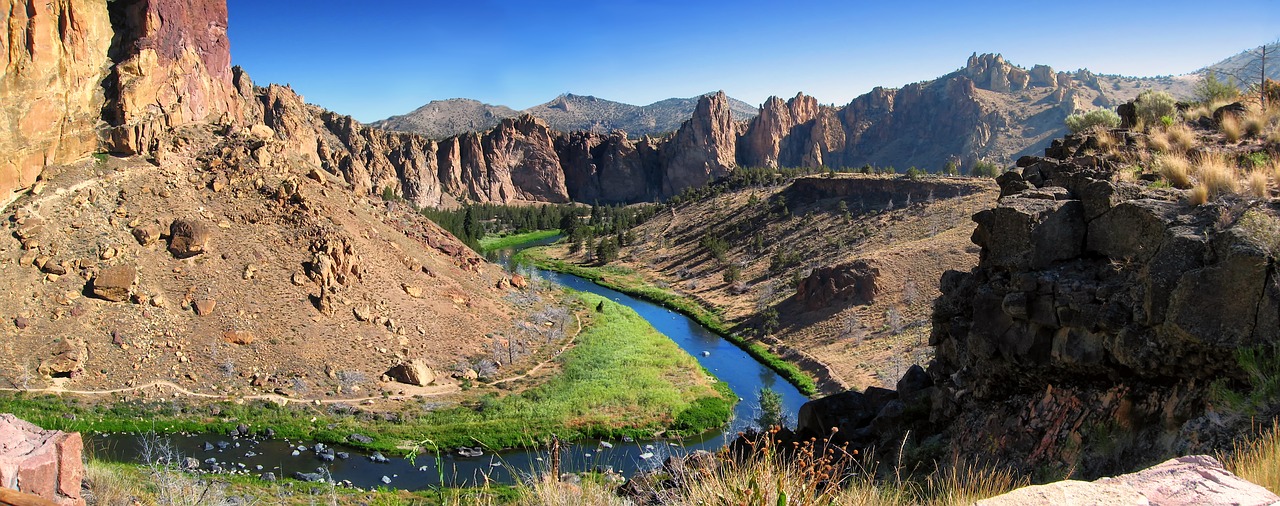
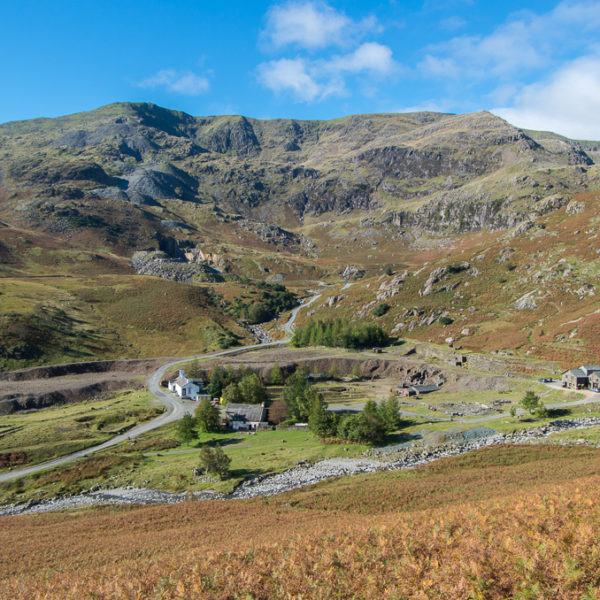
Things to Do in Oregon: Smith Rock State Park
Sparrows and golden eagles dip and soar around the jagged peaks of…
Continue Reading Things to Do in Oregon: Smith Rock State Park
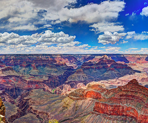
Grand Canyon Hiking in the Summer: Summer Hikes & Backpacks into the Grand Canyon Requires Preparation
Water is Essential Water is available along some of the more traveled…
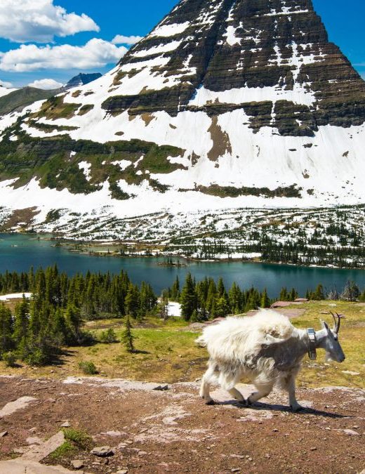
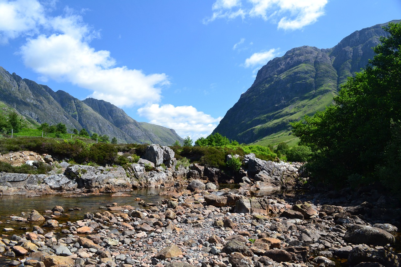
Going-to-the-Sun Road in US Rocky Mountains: Glacier National Park, Montana
In their quest for the Pacific, Lewis and Clark failed to find…
Continue Reading Going-to-the-Sun Road in US Rocky Mountains: Glacier National Park, Montana
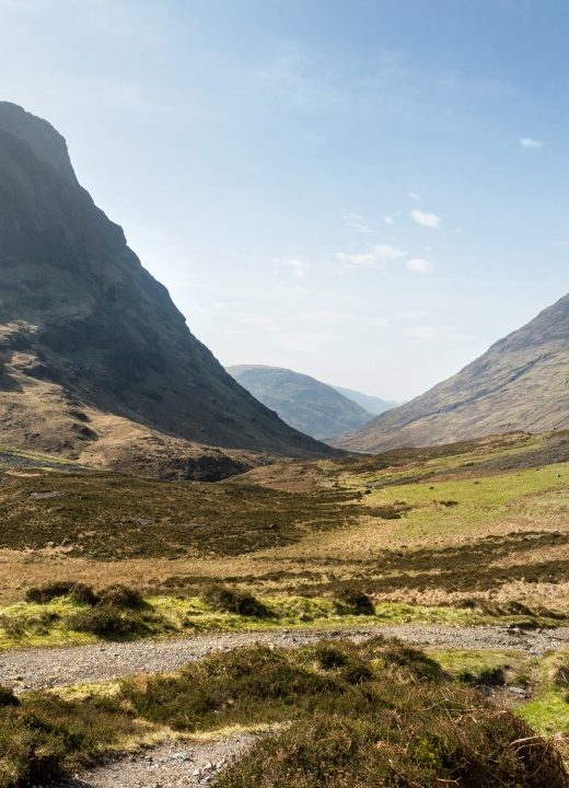
The West Highland Way – A Great Scottish Walk: From Milngavie to Fort William, a Hike into the Scottish Highlands
The duration of this walk is 7-8 days, although depending on fitness…

Learn the art of green travel
Travel responsibly, minimize your footprint, and see the world without killing the planet.
Trip Reports
Get practical advice based on our own experience and adventures.


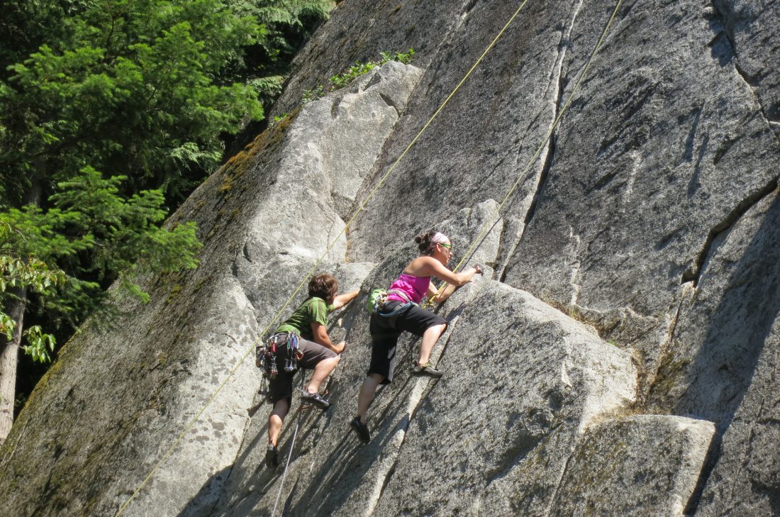
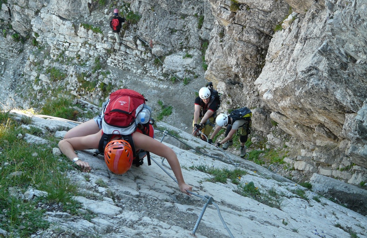
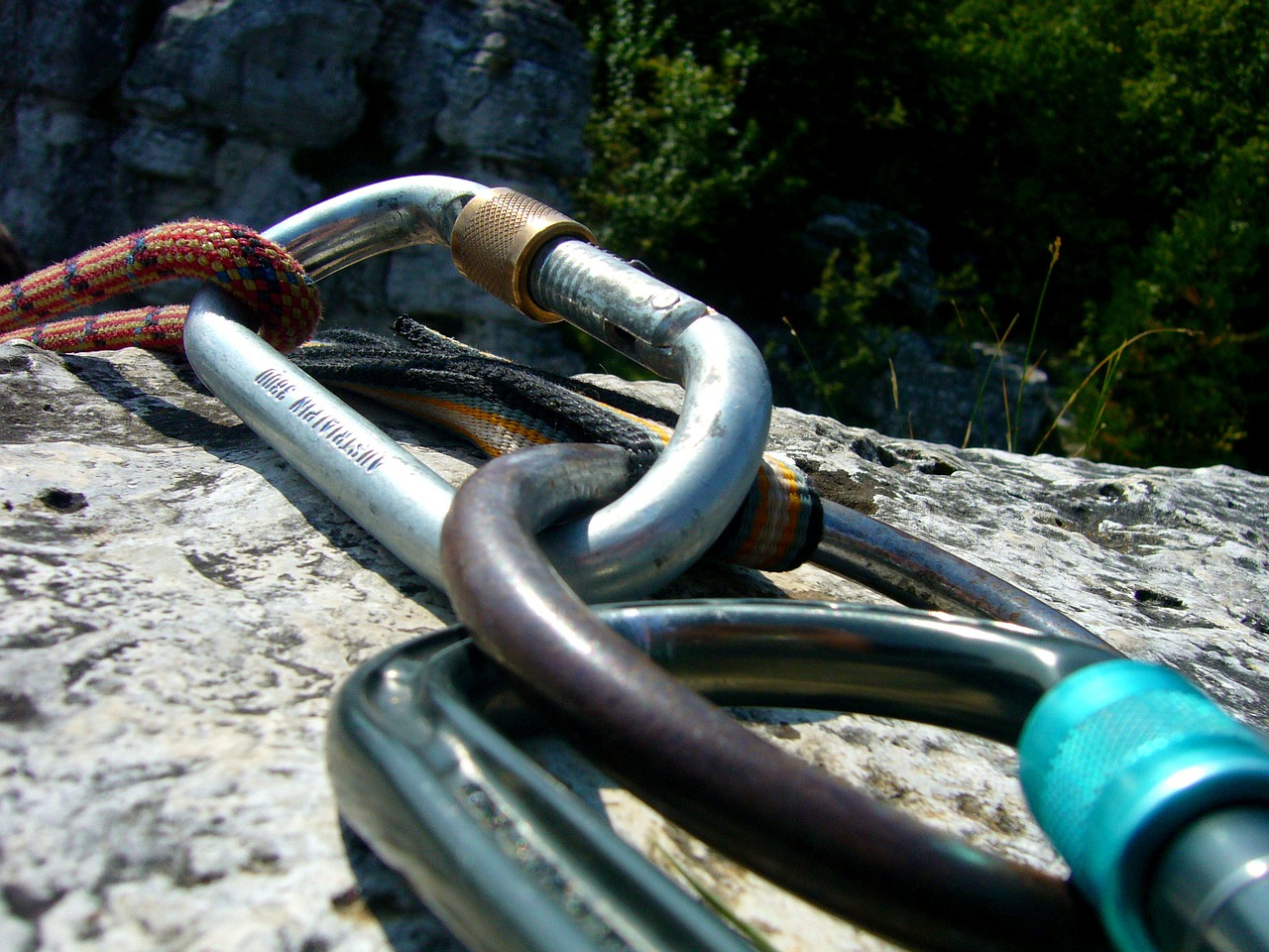
Beginner Rock Climbing in Squamish, B.C. Best Crags for the Novice Climber Near Vancouver, Canada
Squamish, British Columbia (B.C.), dubbed “The Outdoor Recreation Capital of Canada”, is a world-class rock climbing…

Hiking in Rattlesnake Country: How to Identify and What to Do When Encountering a Snake
Rattlesnakes are a common feature in the western United States. Hikers could potentially come across one…

Travel Hacking: Go further with less
Learn the tips and tricks that saved us over $4000 in one year.


Jobs fill your pocket, but adventures fill your soul.
Jamie Lyn Beatty
Trips for Foodies
Journeys worth making for the culinary (or liquid) delights alone.
Activities we love
Create memories with these extraordinary experiences when you get there.